
Geospatial & Satellite
Labels for satellite, aerial, and drone imagery that respect boundaries, scale, and geographic context.
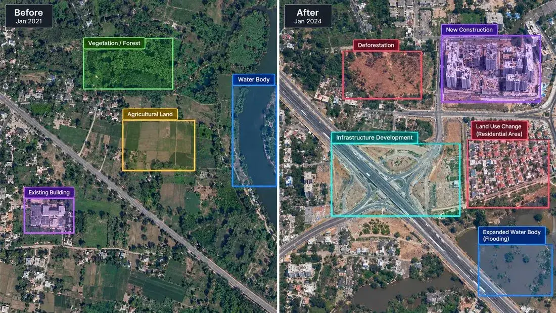
What we annotate
Common task types. Every project follows guidelines agreed with you at scoping.
Building & road extraction
Polygons and lines for structures and transport networks.
Land use & land cover
Classifying and segmenting urban, farm, forest, and water areas.
Change detection
Comparing images over time to mark what changed.
Object detection from above
Vehicles, ships, aircraft, panels, and other assets.
Crop & field boundaries
Field outlines and crop zones for agriculture.
Disaster & damage mapping
Flooded areas and damaged structures after events.
Used across industries
Where this service is most often applied.
AI Needs More Than Data.
Talk to our team about annotation programs, datasets, and enterprise AI infrastructure tailored to your domain.